








Earlier this year, drivers across the UAE opened their navigation apps and found themselves placed on the wrong street. Delivery riders watched their location jump kilometers in an instant, with no explanation. Out at sea, on 28 February, more than 1,100 commercial vessels in UAE, Qatari, Omani and Iranian waters lost their bearings within 24 hours, according to maritime intelligence firm Windward. By 7 March the figure had passed 1,650.
This was not a software bug, and the civilian traffic caught up in it was never the target. It was collateral interference from GNSS jamming and spoofing tied to regional conflict, spilling into systems millions of people rely on without ever thinking about them.
That spillover is the point. Jamming and spoofing do not stay confined to a battlefield or a single military asset: if a city or coastline sits inside the interference footprint, everything using GNSS there is affected. And the signal was never robust to begin with. Arriving from roughly 20,200 kilometers up, it is barely stronger than background noise, weak enough to be drowned out by a jammer or convincingly imitated by a spoofer, using equipment that is cheap and easy to obtain.
Adding constellations does not solve it. Most receivers already draw on GPS, GLONASS, Galileo and BeiDou together, and a local jammer takes all four down at once. Redundancy within satellite navigation is not redundancy against it.
Modern aircraft understood this decades ago. GNSS sits at the top of a layered, prioritized stack the flight management system falls back through automatically. Aviation accepted long ago that one satellite signal is not enough to trust with people's lives. Autonomous platforms have not internalized the same lesson, which makes GNSS denial one of the cheapest ways to blunt an otherwise sophisticated force. A system that loses GPS with nothing beneath it does not just get lost. It becomes a liability.
This is why resilient, GNSS-independent navigation has become an engineering priority rather than a research curiosity, and why we invested in it at TII.
Our first and most mature answer has been vision-based navigation for fixed-wing UAVs. It mirrors what a pilot without instruments would do: look at the ground, recognize it, work out where you are. The camera feed is matched against pre-loaded satellite and terrain imagery for absolute position, then fused with motion tracking and inertial data into one estimate the autopilot reads as it would a GPS receiver. What matters operationally is that it degrades gracefully: full visual navigation, then visual tracking, then inertial dead reckoning, with automatic re-lock the moment visual reference returns. It is already flying, day and night, across desert and mixed terrain. We have proven it in fully GNSS-denied conditions in different locations, holding under 50m of position error when flying above 500m of altitude for over 50+ km. The system is integrated across five platforms and has flown over open desert, open sea and mountainous terrain, up to 3,000 meters AGL.
Vision alone will not carry the whole problem. A camera is only as useful as what it can see. Infrared extends that reach into darkness, but fog, heavy rain and dust remove the visual reference entirely. The system depends on comparing what the aircraft sees now against imagery captured at some point in the past. Deserts shift their dune lines, cities get rebuilt, coastlines change with the seasons. When the landscape has moved on from the reference map, a purely visual system loses confidence exactly when it is needed most.
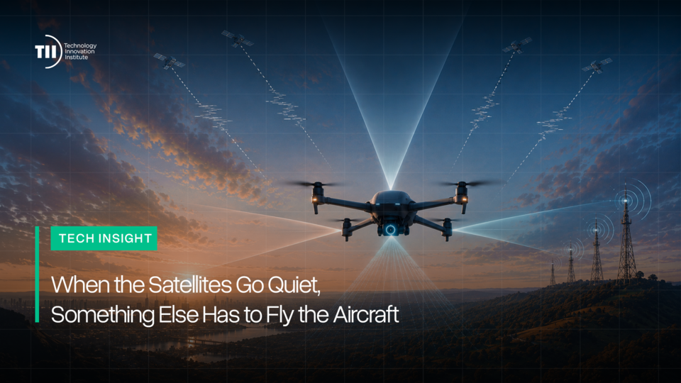
So alongside vision we are working on celestial, network-based and magnetic navigation, not as replacements but as layers that fail differently from one another. Celestial navigation is among the oldest techniques and the hardest to deny: tracking the sun and stars requires no transmitted signal an adversary can jam or fake, only a clear enough sky. Network-based positioning uses terrestrial signals of opportunity already in the environment. Magnetic navigation treats the Earth's magnetic field as a fingerprint map, closer to how migratory animals navigate, and works precisely where cameras and the sky both fail.
Every one of these has conditions where it fails. That is the design principle, not a caveat: whatever an environment or an adversary takes away, something else keeps the aircraft oriented, and eventually the ship, the survey drone and the delivery vehicle. It is the logic that makes redundancy the definition of safety in aviation, applied one layer deeper.
That thinking matters well beyond fixed-wing UAVs. Advanced Air Mobility platforms will fly lower, slower and closer to people than any airliner, over dense urban environments where GNSS interference is already a daily nuisance rather than a hypothetical. Infrastructure inspection, maritime logistics and disaster response will lean on the same redundancy. Resilient navigation is not a feature bolted onto any of these; it is the invisible layer all of them will quietly depend on.
A quarter of a century of open civilian access built a world that trusted this signal without thinking about it. Barely two years of jamming and spoofing across contested airspace have shown why that trust needed something underneath it. The next time a navigation app puts a driver on the wrong street, or a UAV crosses open desert with no GPS lock at all, most people should have no reason to notice. Success in this work is indistinguishable from an uneventful day. Anything we now ask to fly itself has to know where it is even when nothing is telling it.